Make the Trail Map layer usable
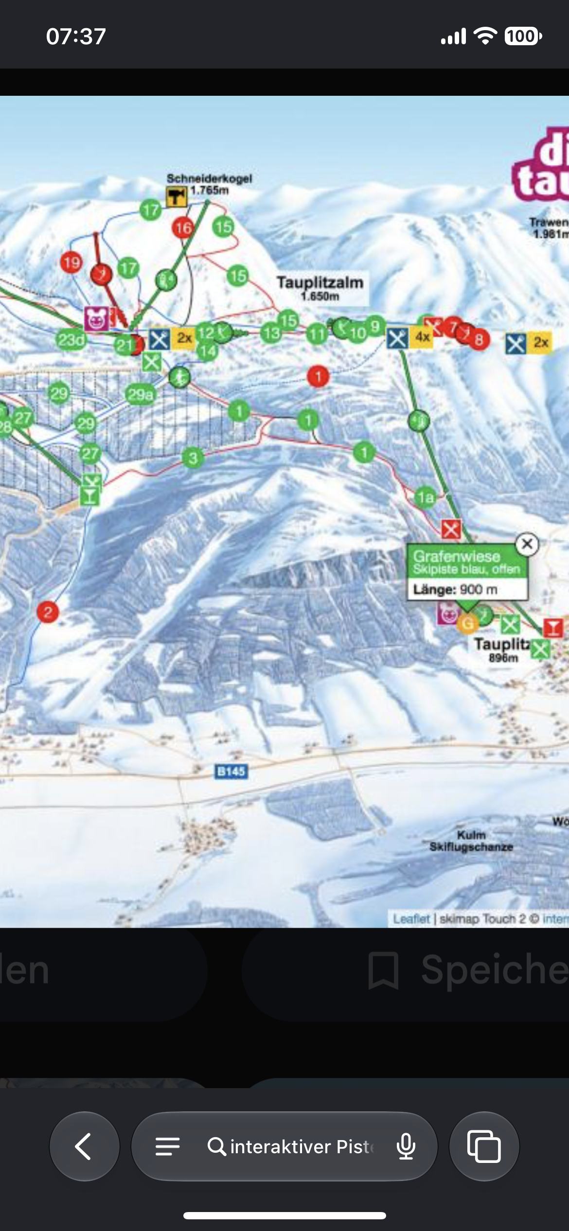
Simply open/ close lifts/trails by clicking on the lift/trail on our trail map. So it becomes a little bit like those interactive maps Ski resorts have, just that you can change the status with one click in an overview. (Of course with the option to group things ) hovering over a trail could maybe also show you the actual snow status, and some statistics
Log in to comment and vote
No comments yet
Be the first to share your thoughts.